Canva Templates
Creative editable designs


Discover thoughtfully crafted templates, printable designs, and creative resources designed to bring your ideas to life. From photo memories and educational materials to professional presentations and custom projects.

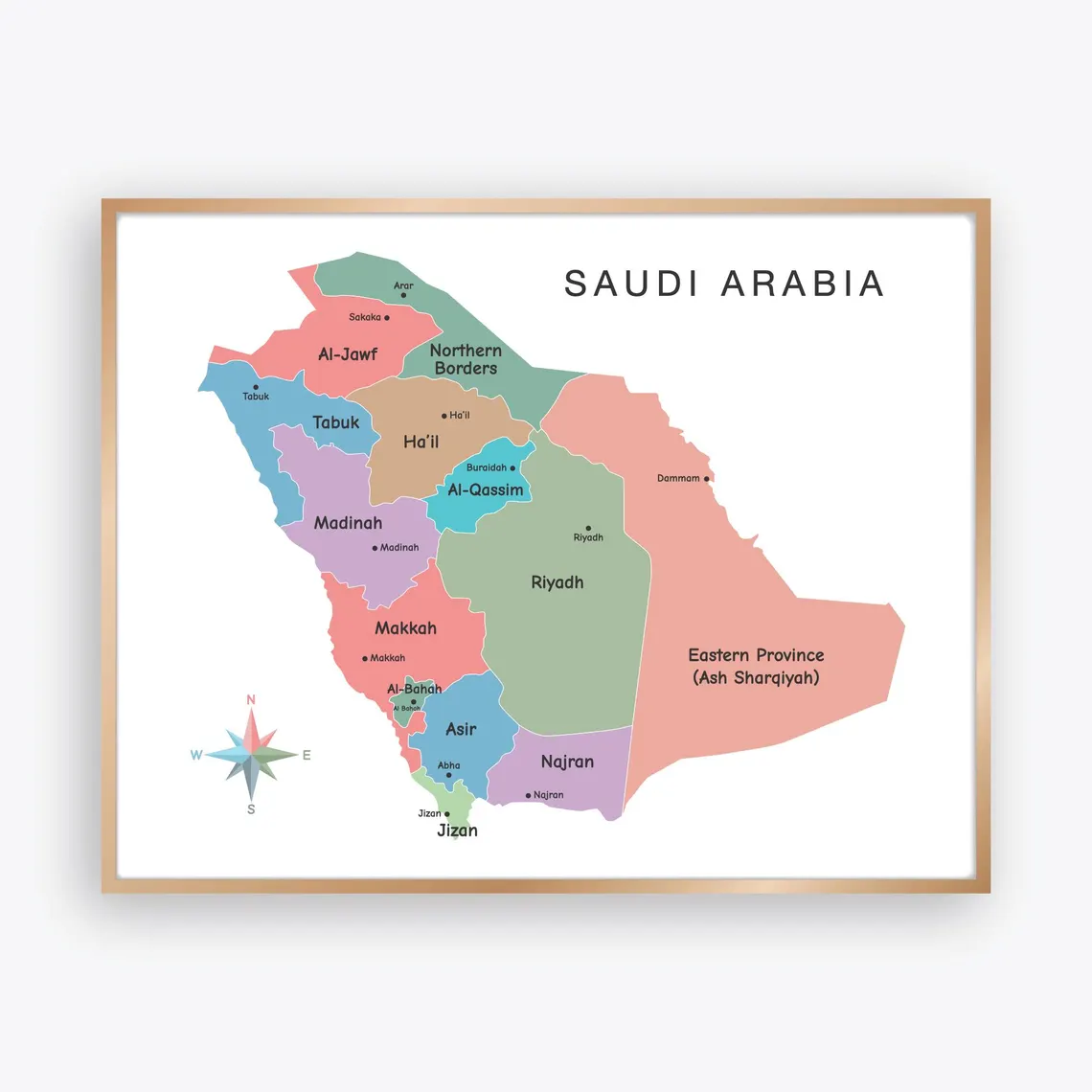
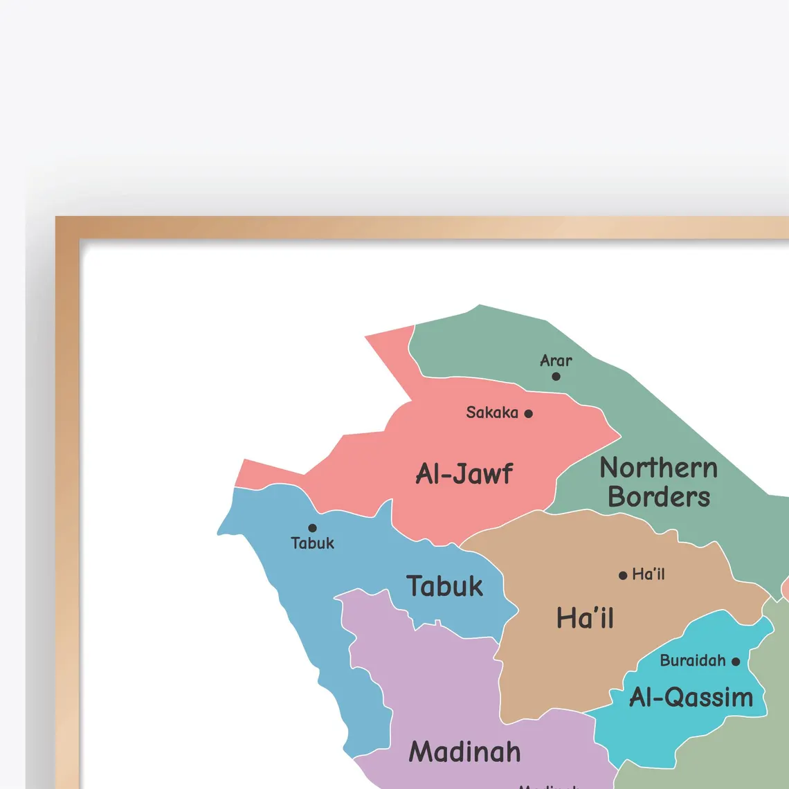
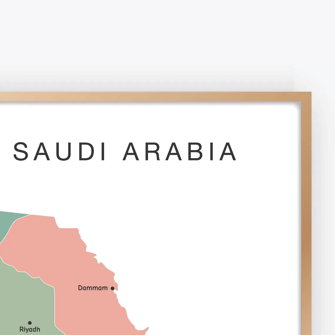
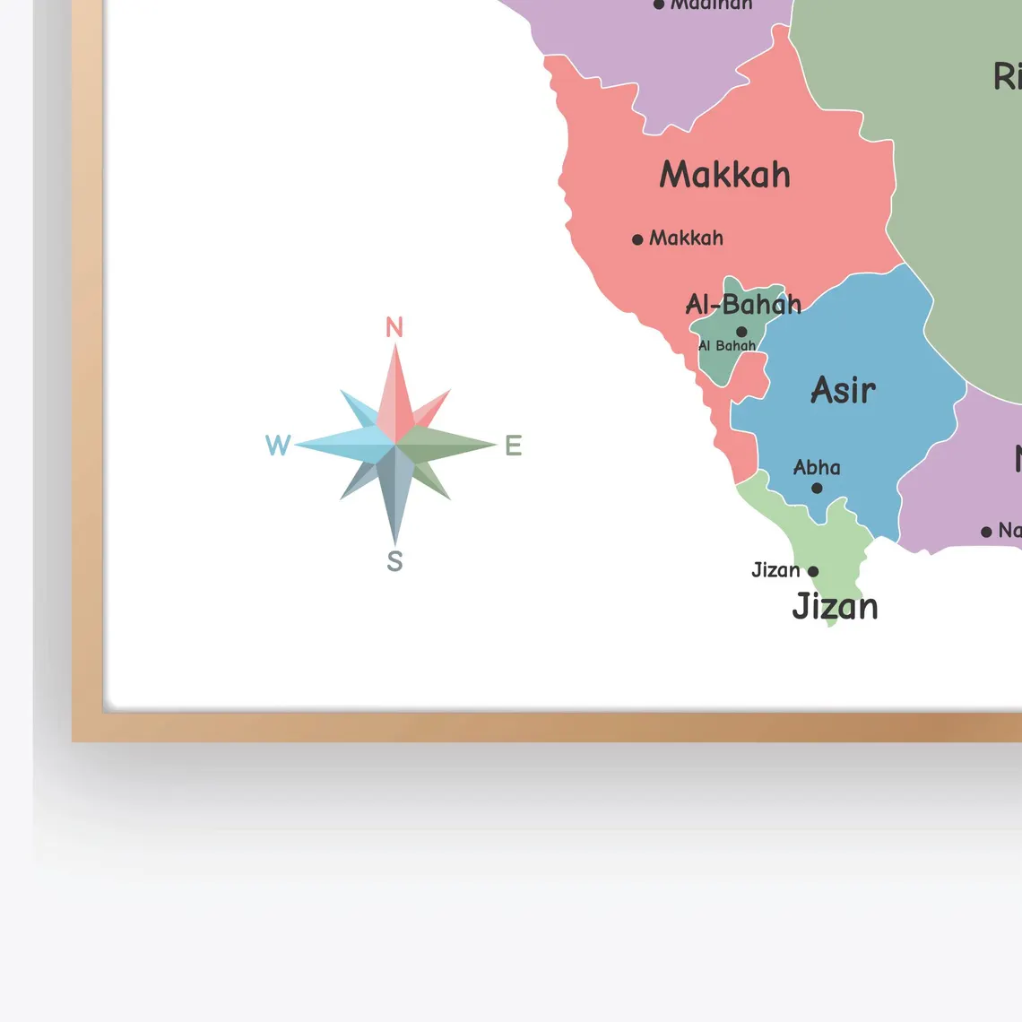
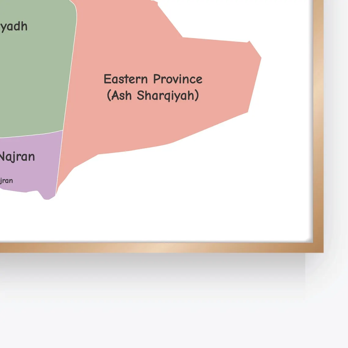
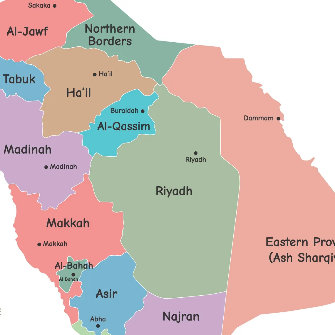
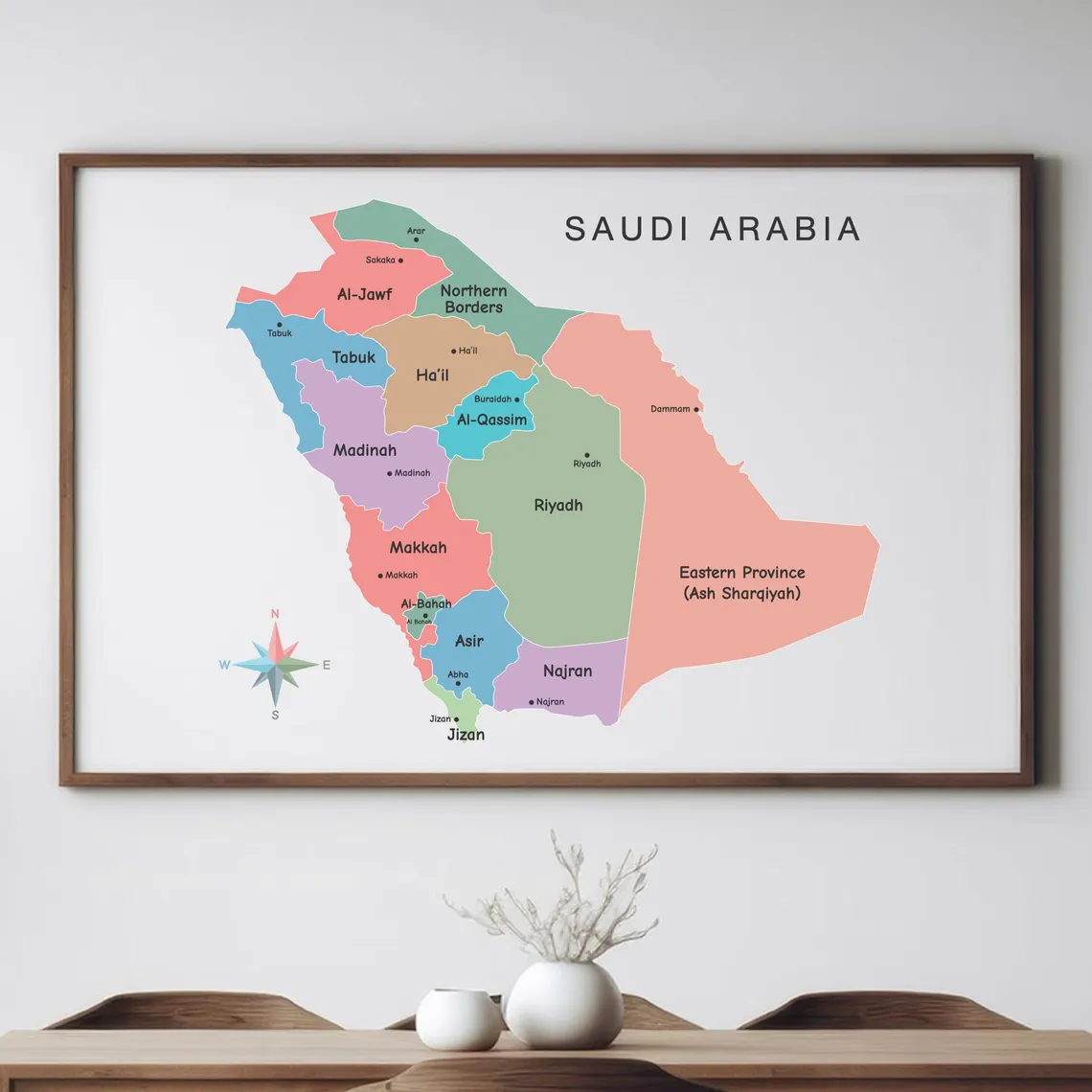
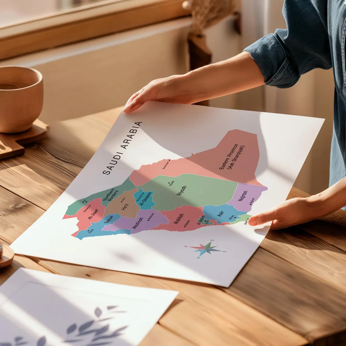
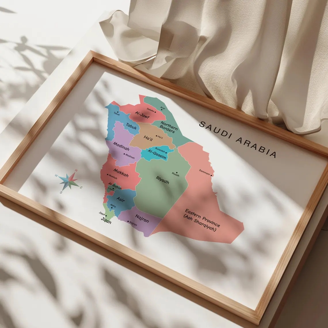


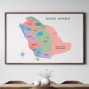
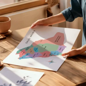

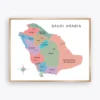
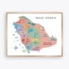
Make learning about geography more engaging with this Saudi Arabia Map for Kids featuring the main provinces and important cities of Saudi Arabia.
This illustrated geography map is designed to help children explore the country in a clear and enjoyable way. Colorful illustrations make the different regions easier to recognize while introducing young learners to the geography of Saudi Arabia.
The Saudi Arabia Map for Kids is ideal for homeschool activities, classroom geography lessons, study spaces, and educational wall displays. Additionally, the illustrated design adds a colorful educational touch to children’s learning environments.
Because this is a digital product, you can download the file after purchase and print it in the size that best suits your space.
Understanding provinces and cities can help children develop a clearer picture of how Saudi Arabia is organized geographically.
This educational map shows the main provinces along with important cities, giving learners a visual reference while studying the country. Meanwhile, the colorful illustrations make the map more approachable for children.
Geography lessons can become more interesting when students have visual resources to explore.
This Saudi Arabia geography map introduces children to the country’s provinces and cities through an illustrated design. For example, teachers can use the poster during geography lessons, while homeschool families can display it as a daily visual reference.
Furthermore, the map can be combined with other educational geography resources to create a broader learning display.
The illustrated design can help young learners explore:
Create an engaging geography learning wall with an illustrated map of Saudi Arabia.
The Saudi Arabia Map for Kids works well in classrooms, learning corners, libraries, and educational displays. Teachers can place the poster near a geography station or classroom board so students can refer to it during lessons.
Similarly, homeschool learners can display the map near their study desk or learning wall.
Learning about regions and cities can give students a better understanding of a country’s geographical organization.
This Saudi Arabia regions map provides a useful visual reference for children studying the country’s provinces. The illustrations also add visual interest while keeping the educational purpose of the poster clear.
For example, the map can be displayed during geography activities, country studies, or homeschool lessons.
Saudi Arabia is an important country to explore when learning about the geography of the Middle East.
This Middle East geography poster focuses on Saudi Arabia’s provinces and major cities, giving children a visual introduction to the country’s geography. Additionally, it can be displayed alongside other educational maps to create a wider Middle East or world geography learning wall.
The colorful illustrated format also makes the poster suitable for children’s educational spaces.
Homeschool families can use this Saudi Arabia Map for Kids as part of geography lessons and independent learning.
Display the poster near a homeschool desk, reading area, or educational wall where children can see it regularly. It can also be used alongside books, worksheets, and other geography resources.
Meanwhile, the digital format provides flexibility when choosing the print size that works best for your learning space.
Educational wall art can combine learning with attractive room decoration.
This illustrated Saudi Arabia map adds geography-focused artwork to classrooms, homeschool rooms, study areas, and children’s learning spaces. The provinces, cities, and colorful illustrations provide a useful visual reference while creating an engaging atmosphere.
Therefore, it can serve as both educational material and decorative wall art.
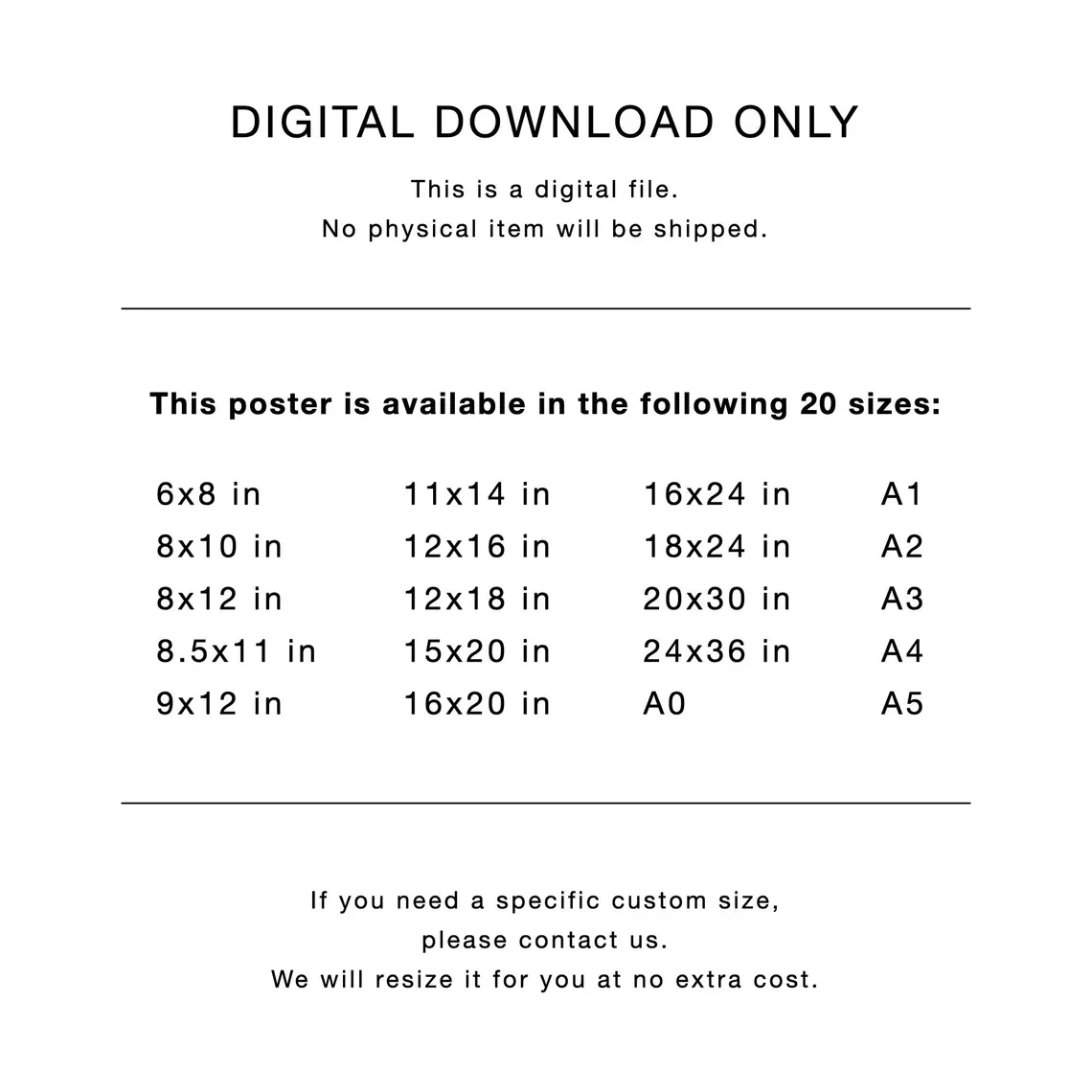
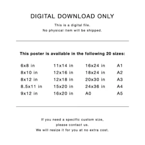
Your purchase includes a high-resolution digital file prepared at 300 DPI for clear and professional printing.
This is a DIGITAL FILE ONLY. No physical item will be shipped.
Once your payment is confirmed, your digital file will be available for instant download.
You can print the artwork at home, use a local print shop, or choose a professional printing service. The included aspect ratios provide flexibility when selecting the best size for your wall or frame.
Your purchase includes:
Inches:
Centimeters:
Inches:
Centimeters:
Inches:
Centimeters:
Inches:
Centimeters:
Suitable for standard paper sizes:
Expand your educational map collection with related geography printables from ShafuraDesign.
You may also enjoy the France Map Poster for exploring European geography and country maps.
For another regional geography resource, explore the Austria Political Map Printable.
The Finland Political Map Poster is another useful educational map for classroom and homeschool displays.
You can also add the Illustrated Denmark Mapto create a collection of colorful country maps.
For additional geography learning, the Cardinal Directions Educational Poster can complement map-based learning activities.
These ShafuraDesign products can be displayed together to create an engaging geography learning environment.
After downloading your digital file, choose the aspect ratio that matches your desired print size.
Print the artwork at home, through a local print shop, or with a professional printing service. For best results, use high-quality paper and high-resolution printer settings.
Once printed, place the map in a frame or display it on a classroom, homeschool, study, or children’s learning wall.
Print at 100 percent scale without resizing to help maintain the intended proportions of the artwork.
Choose the file ratio that matches your desired print size. This helps prevent unwanted cropping or stretching.
For best results, use high-quality paper and high-resolution printer settings.
Very small text details may be less readable when printed at smaller sizes such as A4. Medium to large sizes are recommended for better clarity.
Colors may vary slightly depending on your monitor, printer, paper type, and printing settings.
If you need a different size or minor adjustment, please contact us.
We will resize the file for you at no extra cost.
This listing is for a digital download only.
No physical item will be shipped.
Once payment is confirmed, your high-resolution 300 DPI digital file will be available for instant download.
This artwork is for personal use only.
The file may not be:
Due to the digital nature of this product, returns and exchanges are not accepted.
Please feel free to ask any questions before purchasing.
For additional creative design tools, visit the official<Canva website.
Thank you for supporting ShafuraPrintables!
Only logged in customers who have purchased this product may leave a review.
$6
Make geography learning more engaging with this Saudi Arabia Map for Kids featuring provinces, major cities, and colorful illustrations. This educational geography poster is ideal for homeschool activities, classroom lessons, study areas, and children’s learning spaces. High-resolution 300 DPI digital download with multiple printable size ratios included.
 82 Photo Memory Poster, Editable Canva Template, Portrait Photo Collage Grid
$8
 89 Photo Memory Collage, Editable Canva Template, Portrait Grid with Center Photo
$8
 50 Photo Wedding Collage, Editable Canva Template, Portrait Grid Poster
$8
 Vehicles Poster, 15 Types of Transportation Vocabulary Chart, Cars Trucks Airplane Train Printable, Preschool Kindergarten Classroom Decor, Digital Download
$4
 Morocco Illustrated Map Poster with Regions and Cities, Colorful Travel Map, Cultural Landmarks Geography Wall Art, Educational Printable, Digital Download
$6
 Canada Black and White Map Poster, Provinces Territories and Capitals, Minimalist Political Map Printable, Classroom Wall Art, Digital Download
$6











Reviews
There are no reviews yet.