Canva Templates
Creative editable designs


Discover thoughtfully crafted templates, printable designs, and creative resources designed to bring your ideas to life. From photo memories and educational materials to professional presentations and custom projects.

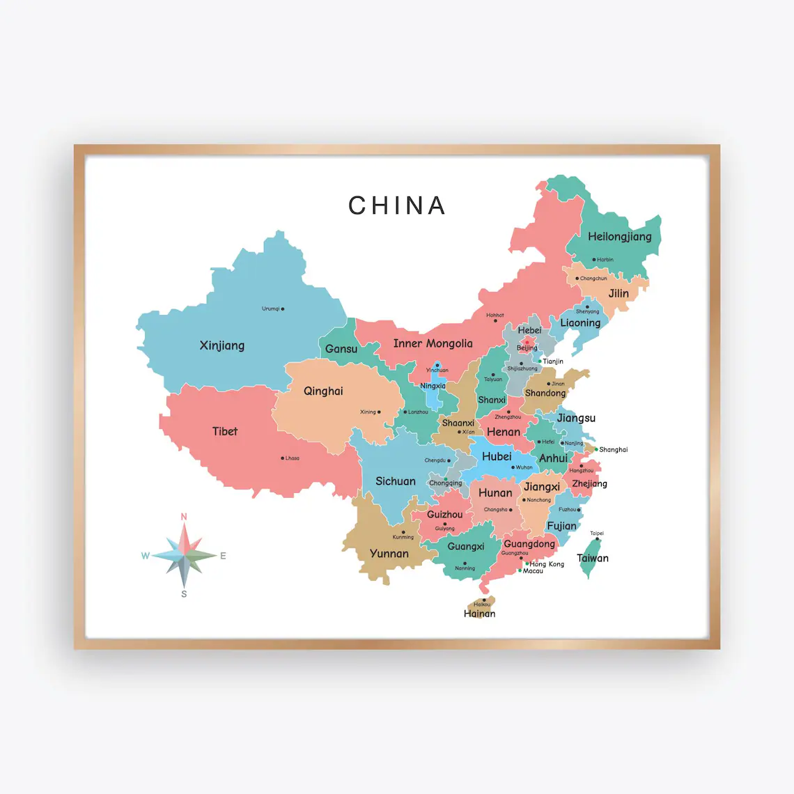
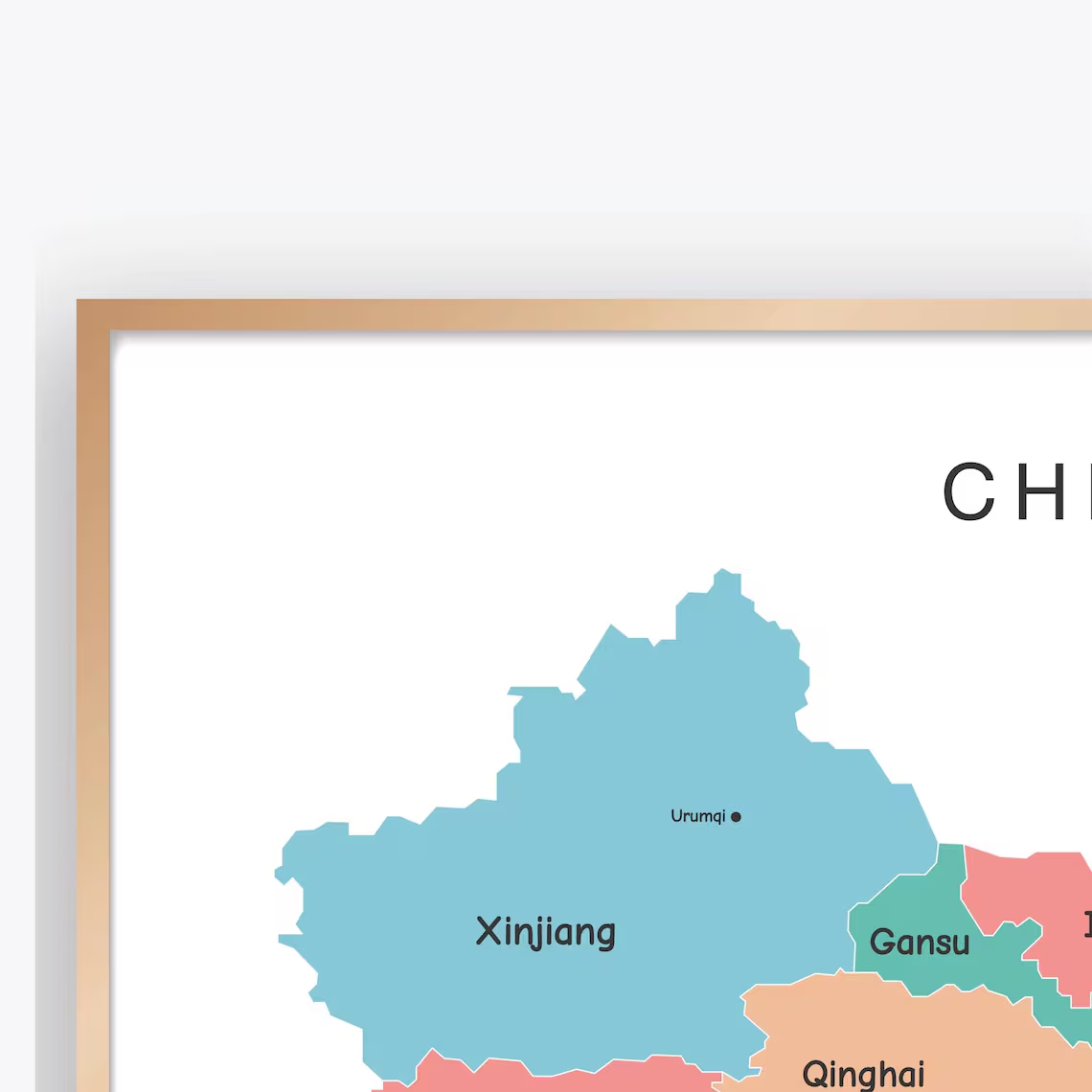
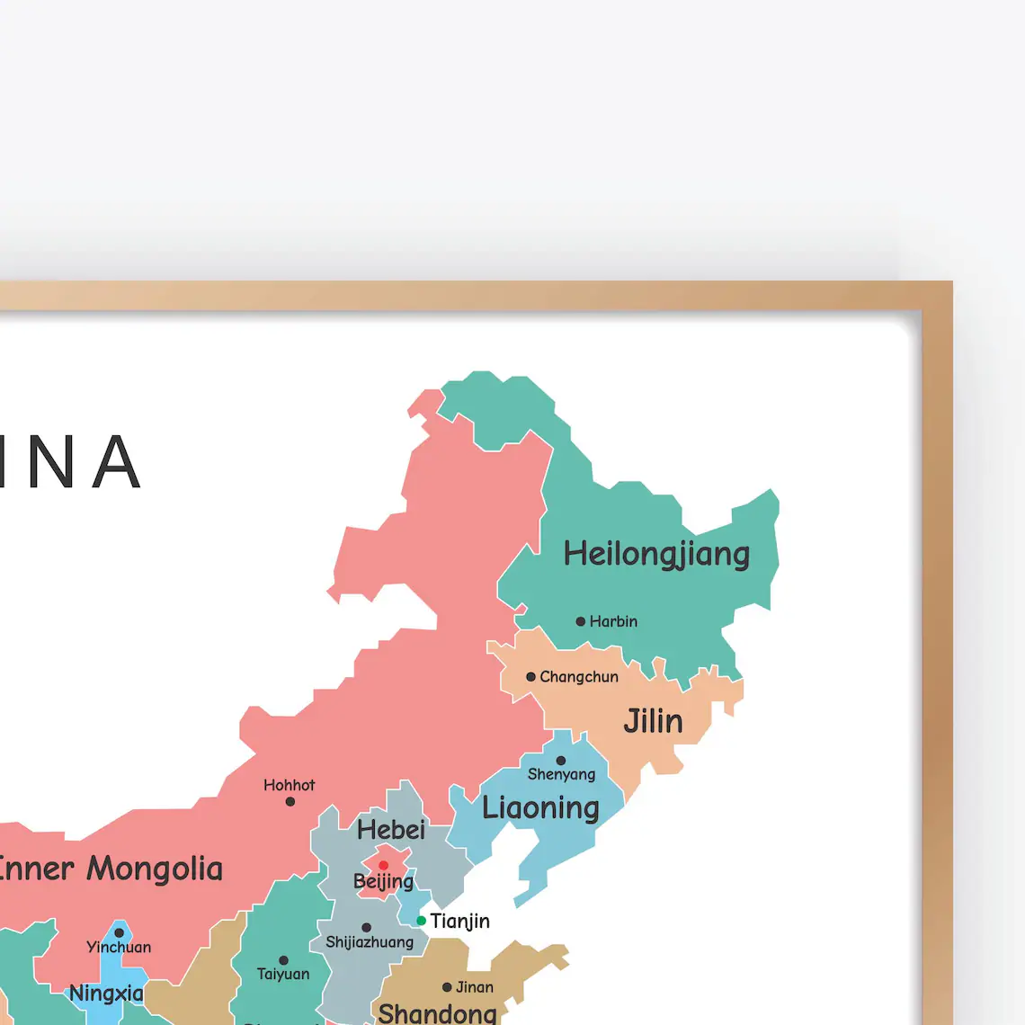
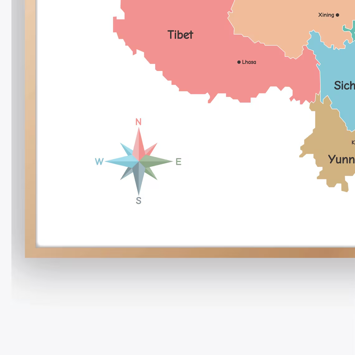
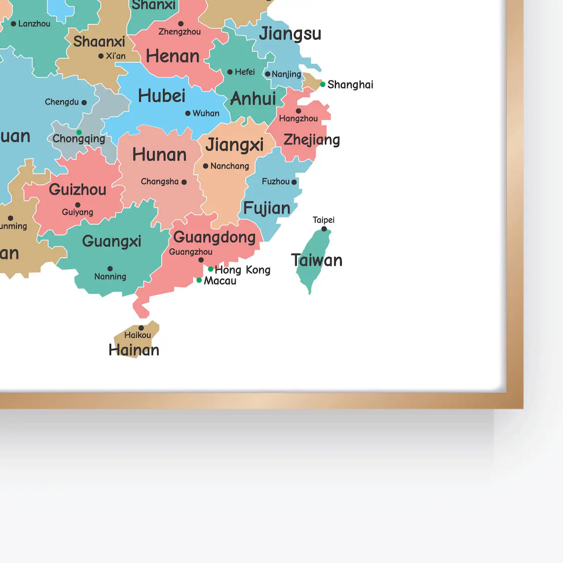
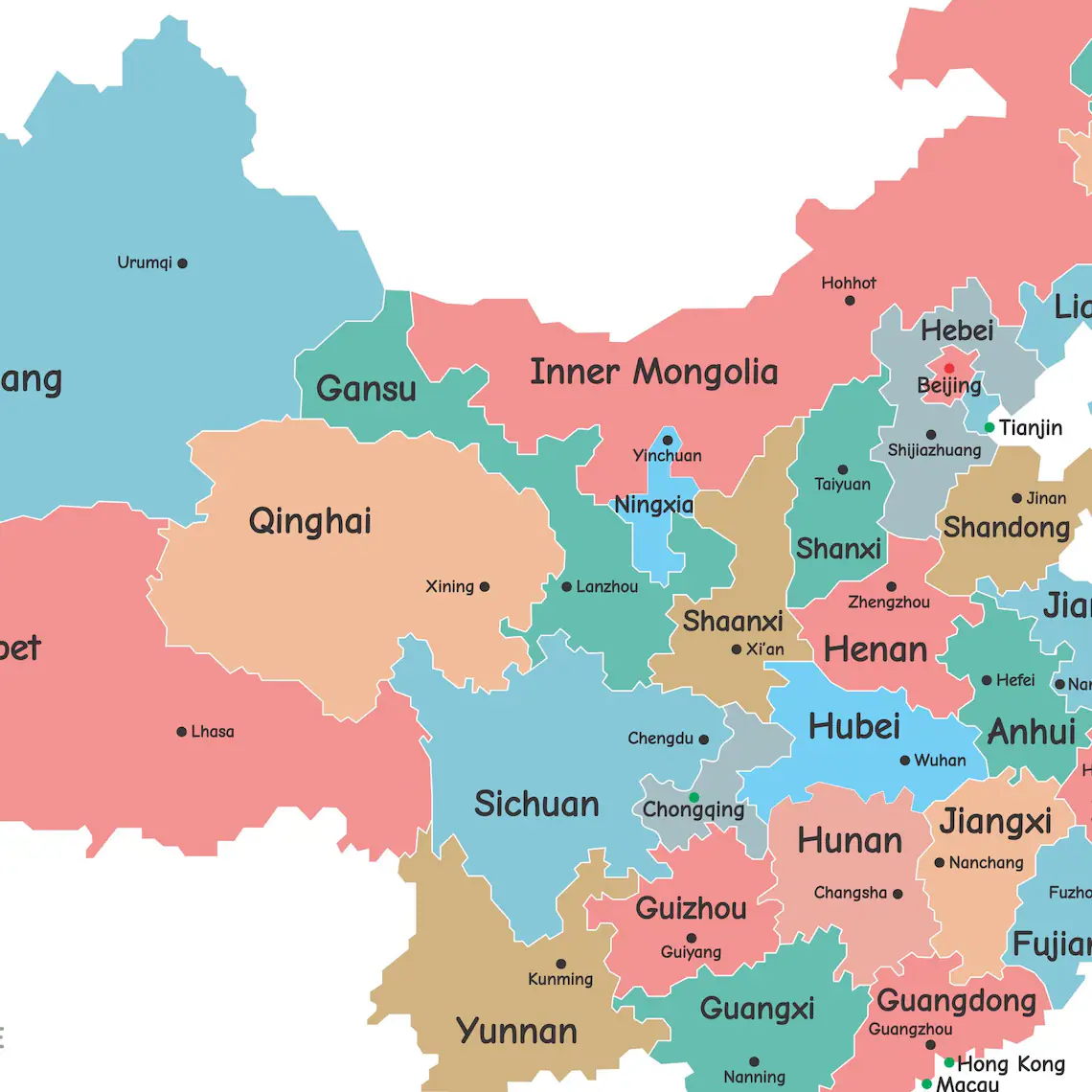
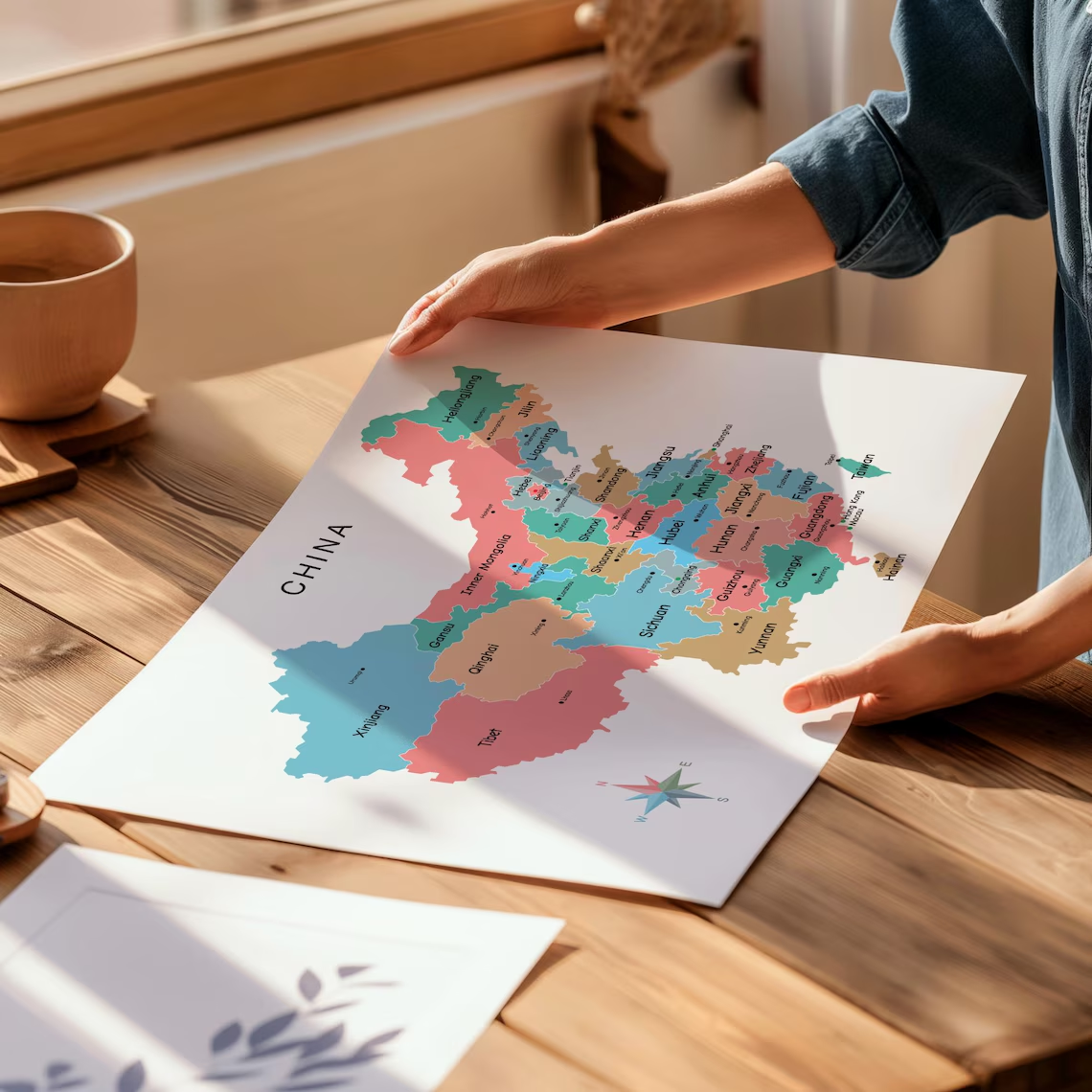
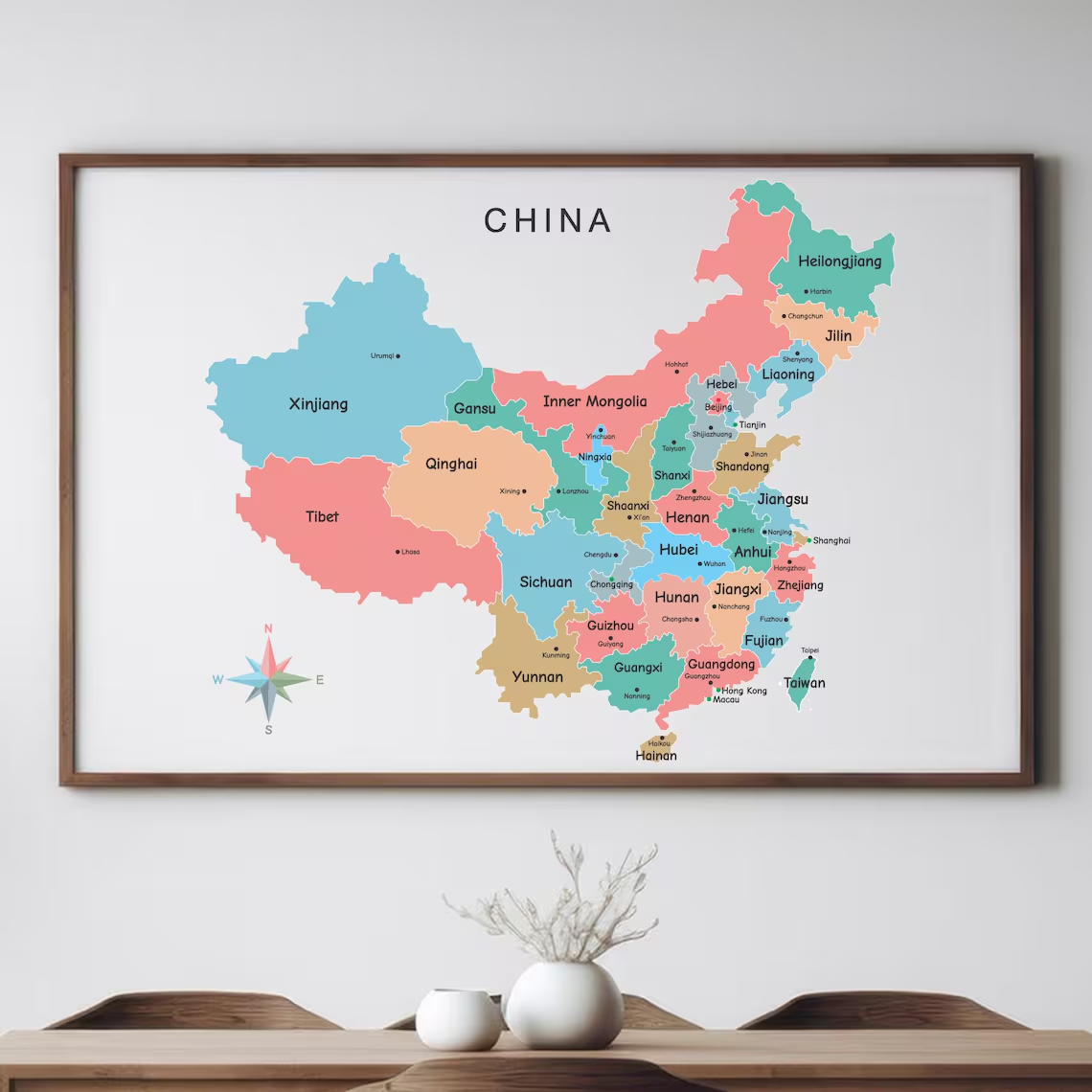
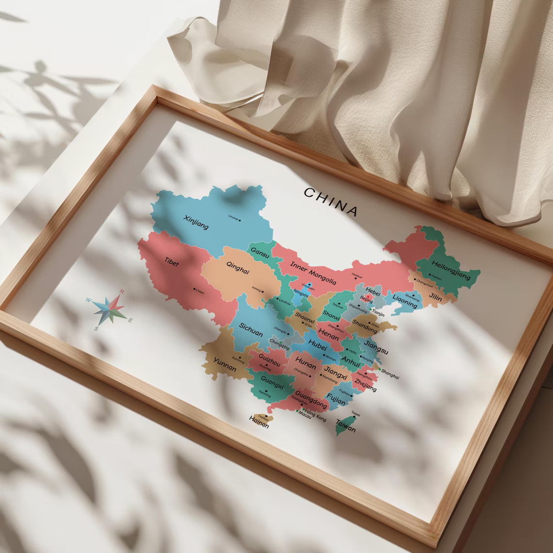

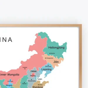
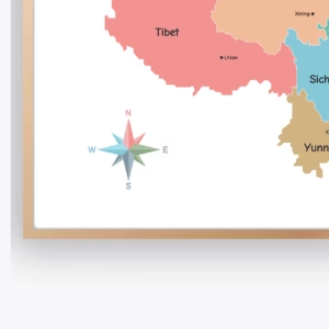
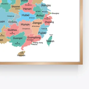
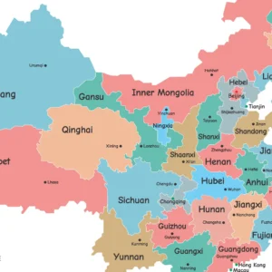
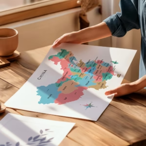
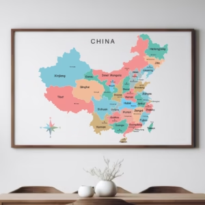
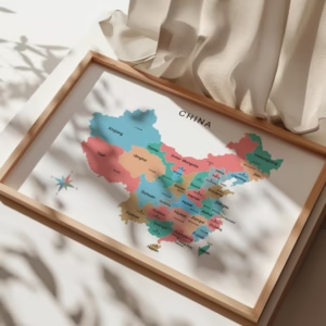
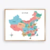
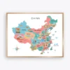
Explore the geography of China with this China Political Map Poster featuring clearly labeled provinces, autonomous regions, municipalities, and capital cities.
This colorful educational map provides a clear visual reference for understanding China’s administrative divisions and geographic structure. The organized layout and distinct regional colors make it easier for students and learners to identify different areas of the country.
The China Political Map Poster is suitable for classrooms, homeschool environments, study rooms, offices, libraries, and educational spaces. Additionally, it works beautifully as both a learning resource and modern geography wall decor.
Because this is a digital product, you can download the files after purchase and print them in the size that best suits your space.
A visual map can make geography learning more engaging and easier to understand. This China Political Map Poster provides students with a detailed reference for exploring the country’s provinces and administrative regions.
Each area is clearly presented to support geographic awareness and map-reading activities. Furthermore, the colorful design makes the information easier to distinguish during lessons and independent study.
This educational printable is suitable for:
This China Political Map Poster combines educational value with a clean and colorful visual design.
Parents, teachers, students, and homeschool families can use this printable as part of an engaging geography learning environment.
Learning about a country’s geography becomes easier when information is presented visually.
This colorful China political map helps learners explore administrative regions and understand how different areas are organized. The distinct colors and readable labels provide a useful reference for both classroom instruction and independent learning.
Additionally, the map can be displayed where students can regularly review geographic information.
This educational geography poster clearly presents important political and administrative information about China.
Students can use the map to become more familiar with provinces, capital cities, autonomous regions, and municipalities. Therefore, it can be useful for geography lessons, social studies activities, and country research projects.
The printable format also makes it easy to choose the size that works best for your classroom or wall space.
Educational wall art can help create a more engaging study environment.
This China political geography print combines useful map information with an attractive colorful layout. It can be displayed in classrooms, homeschool rooms, offices, libraries, study areas, or children’s educational spaces.
Meanwhile, the clear design allows the artwork to function as both a decorative poster and a practical learning resource.
A geography poster can provide students with an everyday visual reference.
This China map poster is suitable for teachers and parents who want to create an informative learning environment. For example, it can be placed near a study desk, classroom map wall, reading area, or homeschool learning station.
Furthermore, the colorful political design can be combined with other country maps and geography posters to create a complete educational wall display.
This printable map is designed for flexible educational use.
Teachers can include it in geography lessons, while homeschool families can use it as part of country and world studies. Students can also use the map as a visual reference when learning about China’s regions and administrative divisions.
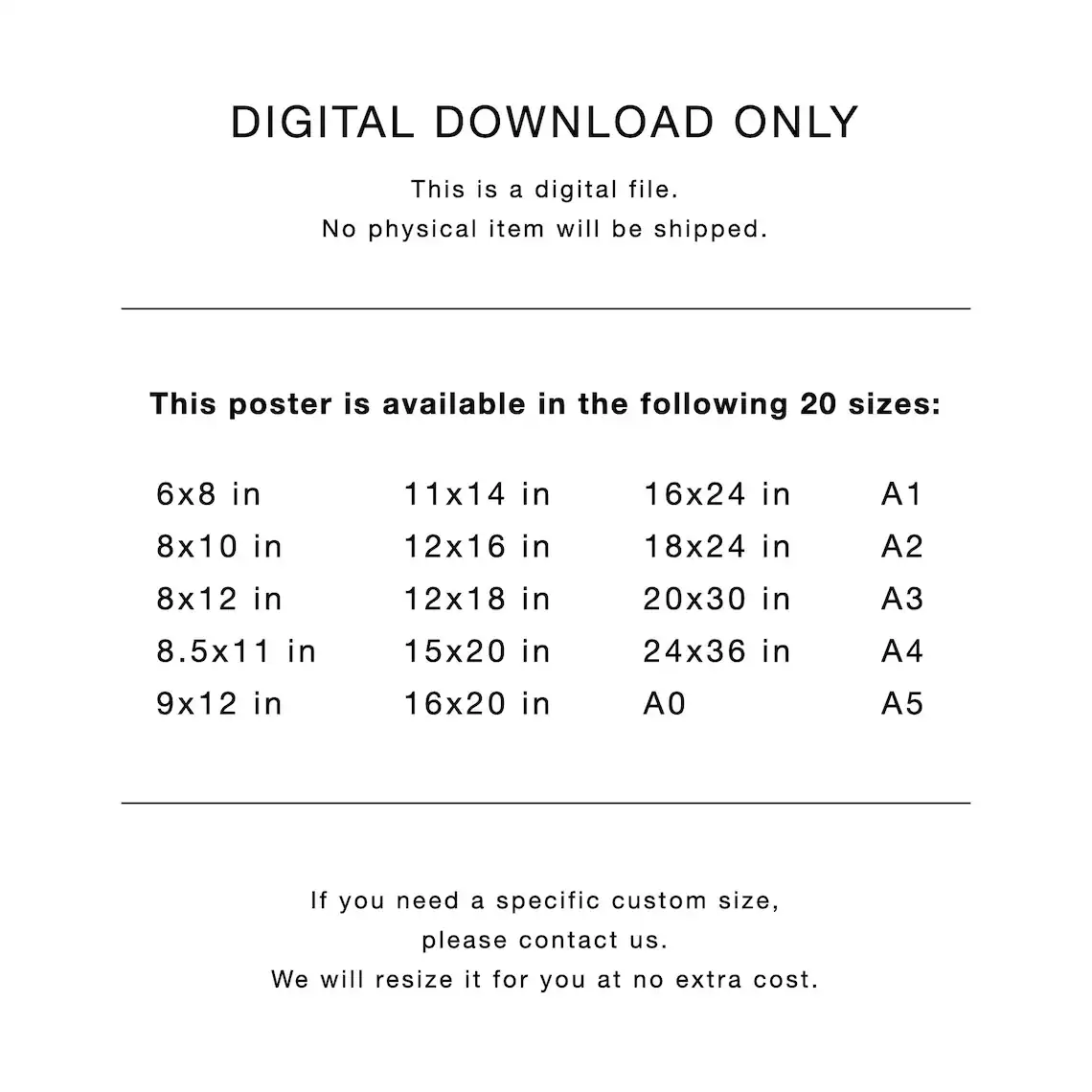
The high-resolution digital format gives you the flexibility to print the artwork in different sizes.
Your purchase includes high-resolution digital artwork prepared at 300 DPI for excellent print quality.
This is a DIGITAL FILE ONLY. No physical product will be shipped.
Once your payment is confirmed, your digital files will be available for instant download.
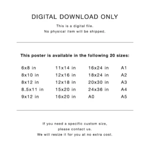
You can print the artwork at home, use a local print shop, or choose a professional printing service. The included aspect ratios provide flexibility when selecting the best size for your wall, classroom, or frame.
Inches:
Centimeters:
Inches:
Centimeters:
Inches:
Centimeters:
Inches:
Centimeters:
Suitable for standard paper sizes:
Create a complete geography learning wall with related educational maps and printable posters from ShafuraDesign.
You may also enjoy the Rainbow Numbers Poster, a colorful educational print for children’s learning spaces.
For additional classroom learning materials, explore the Cardinal Directions Educational Poster, designed to support map-reading and direction learning.
You can also add the Kids Weather Chart Poster to create a more complete educational wall display.
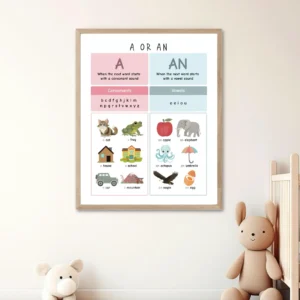
For early learning and literacy resources, the Vowel Sounds Chart Poster is another useful printable from ShafuraDesign.
These educational printables can be combined to create an engaging classroom, homeschool room, or children’s learning environment.
After downloading your digital file, choose the size that best fits your wall, classroom, study area, or frame.
You can print the artwork at home, use a local print shop, or choose a professional printing service.
For the best results, select the correct file ratio for your desired print size and print at high quality.
Once printed, display your China geography poster in a classroom, homeschool room, office, library, or educational space.
If you need a different size or minor adjustment, please contact us.
This listing is for a DIGITAL DOWNLOAD ONLY.
No physical item will be shipped.
Colors on your screen and on the printed design may vary slightly depending on computer monitors, printers, paper types, and printing settings.
This artwork is for personal use only.
The files may not be:
Because this is a downloadable digital product, returns and exchanges are not accepted.
Please ask any questions before purchasing.
For additional creative design tools and resources, visit the officialCanva website.
Thank You
Thank you for supporting ShafuraPrintables!
Only logged in customers who have purchased this product may leave a review.
$6
Explore the geography of China with this China Political Map Poster featuring clearly labeled provinces, autonomous regions, municipalities, and capital cities. This colorful educational geography printable is perfect for classrooms, homeschool spaces, study rooms, offices, and children’s learning areas. High-resolution 300 DPI digital files are included for printing in multiple sizes.
 82 Photo Memory Poster, Editable Canva Template, Portrait Photo Collage Grid
$8
 89 Photo Memory Collage, Editable Canva Template, Portrait Grid with Center Photo
$8
 50 Photo Wedding Collage, Editable Canva Template, Portrait Grid Poster
$8
 26th Birthday Photo Collage Template, Personalized Birthday Gift for Her, Women, Number Collage Family Gift, Birthday Gift, Canva
$5
 Indonesia Illustrated Map Poster, Provinces and Landmarks Educational Map, Colorful Country Geography Wall Art, Kids Classroom Decor, Digital Download
$6
 France Illustrated Map Poster with Regions and Landmarks, Colorful Educational Country Map for Kids, Classroom Geography Wall Art, Digital Download
$6










Reviews
There are no reviews yet.